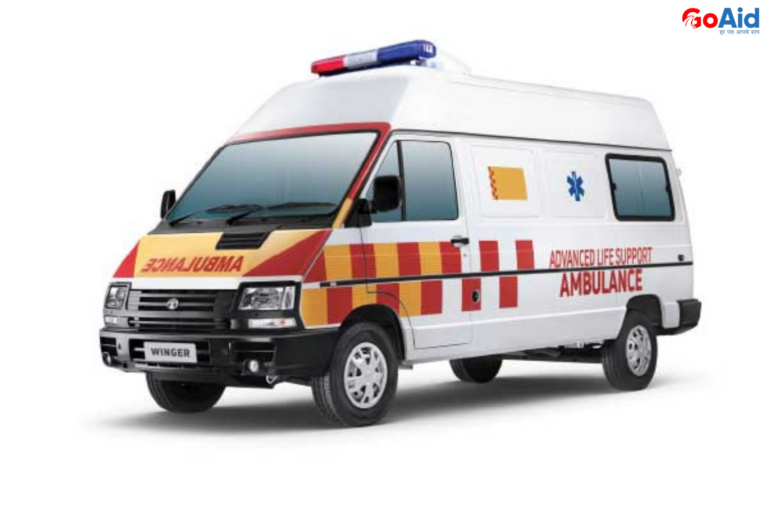

Not only in India but also in many parts of the world, almost all the professional ambulances are installed with GPS, so the patients can track the nearest hospitalŌĆÖs distanced that going to be covered by the ambulance. This GPS or Google Map can help any top ambulance like GoAid to reach to the nearest hospital for providing the immediate medical attention to the patient.
This is why, in this blog, we have provided you all the details about how Google Maps & GoAid Works together. Also, we have mentioned about the difference between GPS and Google Maps & how Google Maps helps with ambulance dispatch system. Are you excited to know all these details? Then read this blog to the end.
So, letŌĆÖs start-
What is Google Maps?
Google Maps is a web-based navigation and mapping service developed by Google. It provides real-time location tracking, route planning, traffic updates, satellite imagery, and turn-by-turn directions. Google Maps uses GPS systems to help users navigate accurately, making it a reliable tool for travel, logistics, and emergency response.
For services like GoAid Ambulance, Google Maps plays a critical role in guiding ambulances to patient locations quickly and efficiently. Its integration with GoAidŌĆÖs dispatch system enhances ambulance response times, route optimization, and precise location sharing during emergencies, making it essential in modern ambulance GPS feature operations.
Difference between Google Maps & GPS System
Though often used together, Google Maps and GPS systems are distinct. GPS is the satellite-based positioning technology, while Google Maps is the application using that data for navigation, visual maps, and route planning-especially vital in systems like GoAid Ambulance.
| Aspect | GPS System | Google Map |
| Technology Base | Satellite-based navigation system | Web-based mapping platform |
| Functionality | Provides exact location coordinates | Offers maps, routes, traffic, directions |
| Data Dependency | Hardware-based, no internet required | Requires internet for full features |
| Visualization | No maps or visual interface | Provides detailed map visuals |
| Role in GoAid Ambulance | Tracks ambulance’s real-time location | Finds fastest route and patient address |
| Integration | Works with vehicle GPS devices | Syncs with GoAid Dispatch System |
| Primary Use | Location tracking | Navigation, directions, route optimization |
| Aspect | GPS System | Google Map |
| Technology Base | Satellite-based navigation system | Web-based mapping platform |
How GoAid & Google Maps Work Together
GoAid Ambulance integrates Google Maps with its ambulance dispatch system to ensure fast, accurate, and reliable emergency responses. This partnership improves tracking, routing, and service efficiency during critical situations.
1. Real-Time Location Tracking
GoAid GPS Ambulance systems use Google Maps to monitor real-time ambulance movement. This allows dispatchers to track routes and make quick decisions, ensuring the ambulance reaches the patientŌĆÖs location without delays, especially during heavy traffic or route diversions.
2. Optimized Route Planning
Google Maps provides traffic-aware route suggestions. With this, GoAid Ambulance chooses the fastest path to the emergency site or hospital, helping save lives by minimizing travel time and avoiding congested roads.
3. Accurate Patient Location Sharing
Patients or callers can share live locations via Google Maps, ensuring precise navigation. This integration improves ambulance GPS features and helps GoAid Ambulance reach even remote or complex addresses without confusion.
4. Enhanced Dispatch Accuracy
The GoAid ambulance dispatch system uses Google Maps data to assign the nearest available ambulance to the patient. This GPS-driven method reduces wait times and increases the speed of service delivery.
5. Real-Time Communication & Navigation
Drivers receive live route guidance and traffic updates through Google Maps, making the journey more efficient. GoAid Ambulance teams also use it to update dispatchers and patients about arrival times and route changes.
Benefits of the GPS in Ambulances
Integrating the GPS system into ambulances like those in GoAid Ambulance services provides critical advantages in emergencies by improving speed, tracking, and coordination.
1. Accurate Vehicle Tracking
With GoAid GPS Ambulance, the control room can constantly monitor the exact location of each ambulance. This prevents delays and ensures efficient fleet management across different cities.
2. Faster Emergency Response
The GPS helps identify the closest ambulance to the emergency site, reducing dispatch and travel time. GoAid Ambulance often reaches patients within 10 minutes using this system.
3. Real-Time Traffic Navigation
The GPS combined with Google Maps helps avoid traffic jams. Ambulances take alternate routes instantly, reaching hospitals quicker even during rush hours or roadblocks.
4. Improved Route Efficiency
GoAid AmbulanceŌĆÖs GPS ensures the most fuel- and time-efficient paths are used, reducing operational costs and improving emergency performance across India.
5. Enhanced Communication
Dispatchers communicate real-time route changes and updates to ambulance drivers. This ensures everyone remains informed and aligned during patient transport.
6. Location History for Records
GPS logs every movement, helping GoAid Ambulance maintain travel history for audits, training, or legal references.
7. Safety for Staff and Patients
Live tracking assures patient families and hospital staff of the ambulanceŌĆÖs location, enhancing transparency and trust in GoAid Ambulance Services.
8. Better Coordination with Hospitals
Hospitals get timely alerts based on GPS data so they can prepare before the patient arrives, improving critical care handovers.
9. Emergency Zone Mapping
GPS helps identify and mark high-risk areas (accident-prone or high-demand), allowing GoAid Ambulance to station vehicles accordingly.
10. Integration with Mobile Apps
The GoAid App uses GPS to let users track their ambulance live, improving user experience and ensuring better emergency planning.
How GPS help with the Ambulance Dispatch System? (100 words)
In the GoAid ambulance dispatch system, GPS plays a vital role in ensuring quick response and effective fleet coordination. By constantly tracking the exact location of all ambulances, dispatchers can assign the nearest vehicle to emergencies instantly.
The ambulance GPS feature also supports smart route planning through traffic analysis, powered by Google Maps. This system significantly reduces response time and ensures the best use of available resources.
Additionally, live updates are shared with users and hospitals, boosting confidence and readiness. GPS thus enables GoAid Ambulance to maintain high service standards and rapid emergency care across multiple Indian cities.
What are the Uses of Google Maps in GoAidŌĆÖs Ambulances in India?
GoAid Ambulance utilizes Google Maps technology in many critical ways to improve ambulance operations and emergency services across India.
1. Real-Time Tracking
Helps track each ambulance’s movement, keeping the control room updated continuously.
2. Patient Location Detection
Pinpointing caller locations even if addresses are unclear or incomplete.
3. Route Optimization
Chooses the fastest paths with minimal traffic, ensuring timely arrivals.
4. Traffic Alerts
Sends live congestion and roadblock updates for route change decisions.
5. ETA Sharing
Drivers share exact arrival times with dispatchers and patients via the app.
6. Emergency Area Monitoring
Map high-risk zones to position ambulances closer for quick access.
7. Map-Based Dispatch Assignment
Assigns ambulances based on the closest GPS position to the emergency.
8. Navigation in Rural Areas
Guides ambulances through remote or unfamiliar territories with accurate directions.
9. Trip History Records
Logs travel paths for performance review and transparency.
10. Integrated App Navigation
GoAidŌĆÖs mobile app uses Google Maps for seamless user-ambulance coordination.
Conclusion to How Google Maps & GoAid Work Together
In conclusion, we have provided you with all the details about how Google Maps and GoAid Ambulance work together to enhance emergency response through real-time tracking, route optimization, and intelligent dispatch.┬Ā
The integration of GPS systems and Ambulance Dispatch Systems allows GoAid GPS Ambulances to reach patients quickly, safely, and efficiently across cities and rural zones in India. This technology partnership ensures smarter healthcare delivery with every call. If you have any other thing to ask about the blog, then ask it in the comment box below.
FAQs related to How Google Maps & GoAid Work Together
Question-1: What is the role of Google Maps in GoAid Ambulance services?
Answer: Google Map helps GoAid Ambulance track live locations, plan fastest routes, and reach emergency sites quickly with precise navigation support during dispatch.
Question-2: How does GPS System enhance ambulance services?
Answer: A GPS system provides real-time location data, helping dispatchers assign the nearest ambulance and track its movement for better emergency response.
Question-3: What is a GoAid GPS Ambulance?
Answer: A GoAid GPS Ambulance is equipped with GPS-enabled tracking and navigation tools, allowing live route updates and faster, smarter emergency care.
Question-4: How does the Ambulance Dispatch System work in GoAid?
Answer: GoAidŌĆÖs dispatch system uses GPS and Google Maps to assign ambulances based on proximity, traffic, and availability, ensuring prompt medical assistance.
Question-5: Can I track GoAid Ambulance using Google Map?
Answer: Yes, GoAidŌĆÖs mobile app integrates Google Map so users can track their assigned ambulance in real time from dispatch to arrival.
Question-6: Why is the Ambulance GPS Feature important?
Answer: The ambulance GPS feature ensures accurate tracking, real-time communication, and optimal routingŌĆöespecially important in time-critical emergencies.
Question-7: What is the difference between GPS System and Google Map in ambulances?
Answer: The GPS system provides location data, while Google Map uses that data to display maps, suggest routes, and give traffic-based navigation.
Question-8: Does GoAid use Google Map for all its ambulances?
Answer: Yes, all GoAid ambulances are integrated with Google Map for efficient navigation, quick location detection, and faster patient reach.
Question-9: How does GoAid ensure timely arrival using Google Map?
Answer: GoAid combines live GPS data with Google Map traffic analysis to select the fastest and most accurate route for every ambulance.
Question-10: Is GoAid Ambulance available across India with GPS integration?
Answer: Yes, GoAid Ambulance operates across top Indian cities and all vehicles are equipped with GPS and Google Map support for national coverage.